Kushaqua Mud Pond -- Finally (sorta)
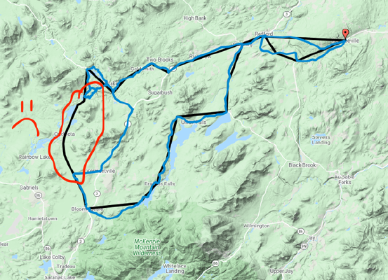
July 5, 2020PLANNED RIDE: Here’s the plan, re-visit CR-26 (full tank of gas this time!) and then turn southwest down Kushaqua-Mud Pond road down into Onchiota before returning eastward.
Womp Womp! (sad trumpet)
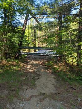
I got about 2 miles down kushaqua mud-pond rd only to find the bridge crossing Saranac river that feeds Mud Pond was closed!
I spent some time looking for an alternate route, but no cell-service and a rather deep river-crossing told my better senses to turn back.
This detour took me down RT 3 west further to Vermontville where I picked up the scent on Oreogn Plains Rd. A few miles south of Onchiota.
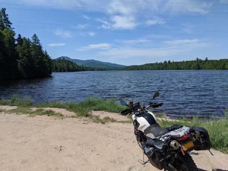
Fortunately still a beautiful day and a great ride.
I was also pleased to notice my comfort and technical abilities much improved on the long stretches of loose gravel roads. Thanks to this great video from MotoTrek on cornering on gravel.
Takeaways
I learned a few things on this trip.
- I need an ADV buddy. I dumped my bike on a sharp hill climb when looking for an alternate route, and spent a good 45 minutes heaving and sweating to turn it around and ride it out of a ditch.
- I need a good set of paper maps for the area.
- I am giving a winch or block-and-tackle set a serious considering.
If you’re local and interested in find an Adventure Motorcycle buddy as well, check out ADKADV.com, a site for adventure motorcycle riders in Central and Northern New York.